Severe Thunderstorms develop rapidly and be very dangerous. In order for a thunderstorm to be classified as severe one of the fallowing things must be true:
Wind Gusts to 58 MPH or greater (can cause structural damage to buildings and trees)
A tornado and/or water spout
Hail size equal to or greater than 3/4 of an inch.
They can also produce deadly flash flood that can turn drains into rivers in a matter of minutes.
You can identify potential severe thunderstorm in several ways.
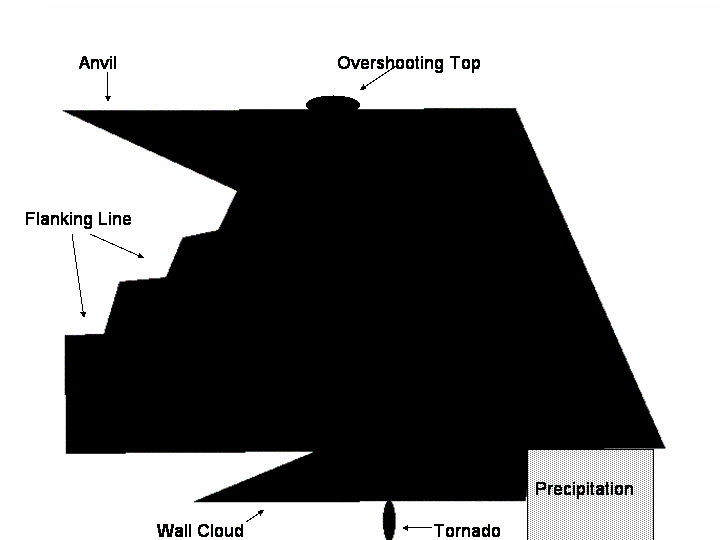
A wall cloud. A wall cloud is a lowering of the rain free base and consists of a collar (the fat part) and a tail (the skinny part). Tornadoes can sometimes form under these clouds.
2. A flanking line may be seen on the side of a storm leading in from under the anvil.. I would best characterize it as looking like stair steps.
3. The last most distinctive part of severe thunderstorm is an over shooting top. It extends from the top of the anvil, and overshoots the rest of the top of the anvil, hence its name.
See the diagram below, notice all the features listed above. If any one has any photos of a storm with any of these features, I would like to have some real world examples.
